How Molokini Crater Was Formed: A 230,000-Year-Old Volcano You Can Read From the Water
The first thing that strikes you from a boat at 6:20 in the morning isn’t the snorkelling. It’s the shape. A grey-brown spine sits low on the horizon off Mākena, tapering to a point at each end, and as your skipper eases the throttle down in the Alalākeiki Channel the crescent resolves into two curving walls with a flat, gin-clear lagoon caught between them. Wedge-tailed shearwaters wheel above the southern rim. Nobody on board has said a word for ten minutes, which for a Maui tour boat is practically a record.
What you are looking at is a volcanic deposit, not simply an island. Those crumbly brown walls are consolidated tuff, the compressed debris of an eruption that happened roughly 230,000 years ago, and the fact that you can read the crater’s entire history off its own cliff face is why geologists keep coming back to this spot. This page covers where Molokini came from and what has happened to it since. If you are here for the fish and the visibility, our Molokini snorkelling and diving guide handles that side of things.
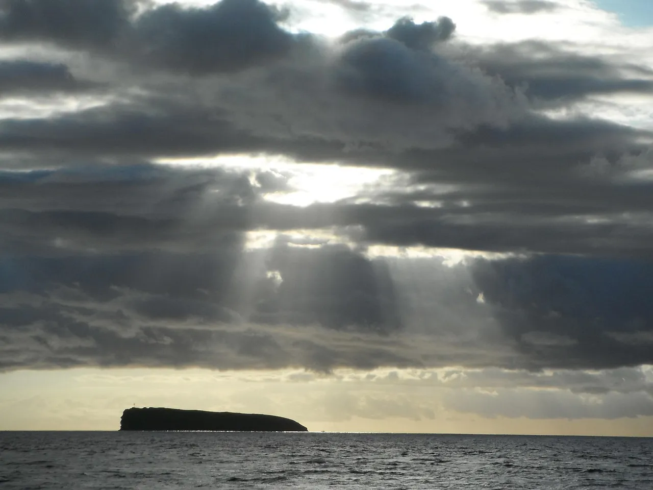
Molokini Crater: The Three Questions Everyone Asks
Most visitors arrive on this page needing three specific answers. Here they are, short enough to read on the boat and detailed enough to settle an argument on the drive home.
| Question | Direct answer | The detail behind it |
|---|---|---|
| How was Molokini formed? | A single steam-driven eruption on Haleakalā’s southwest rift zone, roughly 230,000 years ago | Published age estimates for the tuff fall in a window of 150,000 to 230,000 years. This was a phreatomagmatic eruption: magma met shallow seawater and water-soaked sediment, flashed to steam, and shredded itself into ash instead of flowing as lava. |
| What does Molokini mean? | “Many ties” in Hawaiian | The standard gloss in Pukui and Elbert’s Place Names of Hawaii comes from molo (to tie, bind, or splice) plus kini (many). Hawaiian place names rarely carry a single fixed meaning, so treat any translation as one layer of a longer story. |
| When did Molokini last erupt? | It hasn’t erupted since it was built | There is no record of any eruption during human history on these islands, and no volcanic activity at the site today. Molokini is a fossil, not a dormant threat. |
Maui Nui: The Landmass Molokini Was Born Beside
To understand Molokini you have to go back to a time when Maui was enormous. During the Pleistocene, when glaciers locked up enough of the planet’s water to drop sea levels by well over a hundred metres, Maui, Molokaʻi, Lānaʻi and Kahoʻolawe were welded into one island. Geologists call it Maui Nui, “greater Maui,” and its shoreline would have run from what is now West Maui all the way out past where the Four Seasons Wailea stands today.
You will often read that Molokini is one of the seven volcanoes of Maui Nui. It is not. The seven are Haleakalā, West Maui, Lānaʻi, East Molokaʻi, West Molokaʻi, Oʻahu’s Koʻolau, and the submerged Penguin Bank. Molokini is far too small and far too young to sit on that list. It is a satellite vent on Haleakalā’s southwest rift zone: a side chimney off the main plumbing, roughly 4 kilometres offshore, formed by the same rift system that has been leaking lava into the Alalākeiki Channel for a very long time.
Names around here are worth decoding, because they tell you what the land was doing long before anyone arrived with a snorkel. Alalākeiki, the channel you cross to get there, translates loosely as “the crying child,” usually linked to the sound of wind and water funnelling between the islands. Honuaʻula, the traditional district name for the Kīhei to Mākena coast, means “red land,” a reference to the iron-rich volcanic soil that still stains everything it touches. Even the departure harbours carry the geology in their names.
Anatomy of a Steam Eruption: What Actually Happened
Molokini was not built by a fountain of lava. It was built by an explosion, and the distinction matters enormously when you are floating next to the evidence.
Here is the sequence in plain English. Magma pushed up through Haleakalā’s southwest rift zone until it hit cold seawater and water-saturated sediment close to the surface. Water in contact with magma flashes to steam at roughly a thousand times its liquid volume, and that expansion happens faster than anyone can photograph. The melt was torn apart into ash, lapilli and blocks rather than poured out as a flow. Debris landed back around the vent, cooling and cementing into the layered rock you see today. Repeat that cycle across several violent episodes, possibly spread over months or a few years, and you get a cone.
The colour gives the process away. That dull brown-grey tone is palagonite, altered volcanic glass created when hot ash reacts with water. Compare it with Puʻu Olai, the red cinder cone above Makena Beach, and the contrast becomes obvious: Puʻu Olai is red because its magma met air, not ocean. Molokini is brown because it met the sea.
Erosion has taken a great deal since. The cone is thought to have stood around 500 feet above sea level at its highest. Today the islet measures 161 feet (49.1 metres), spread across roughly 23 acres, which means wind and waves have planed off something in the region of 340 feet of rock. That is the single most useful number on this page, because it tells you the crater’s shape is a wreck, not a design.
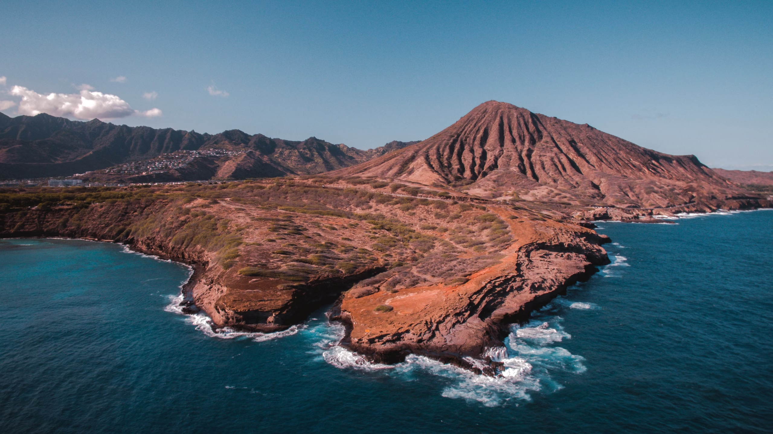
Crater, Caldera, or Tuff Cone? Getting the Vocabulary Right
You will hear Molokini described as a “partially submerged volcanic caldera” on nearly every boat. It is a lovely phrase and it is geologically loose.
A caldera is a collapse structure: the ground falls inwards after a major magma chamber empties. Crater is the generic term for any bowl-shaped depression. Molokini is neither, strictly speaking. It is a breached tuff cone, also called a littoral cone, formed by explosive interaction between magma and water at or near the shoreline. The official state designation preserves the correct idea: Molokini Shoal Marine Life Conservation District, where “shoal” nods to the shallow submarine shelf that continues below the waterline on all sides. The USGS Hawaiian Volcano Observatory keeps a clear glossary of caldera versus crater versus cone if you want the definitions from the source.
The “one of only three partially submerged volcanic calderas on Earth” line is repeated so often that it has become folklore. Treat it as a marketing line rather than a fact, and you will enjoy the tour more.
Why Molokini Is a Crescent: The Breach That Built the Reef
Every photograph of Molokini shows the same shape: two arms curving towards each other with a gap on the north side. That gap is the whole story of the site.
The northern rim of the cone was lower than the rest, and the north side faces the prevailing swell and the trade winds head-on. Tens of thousands of years of waves hammered it down. Once the rim dropped below the waterline, the Pacific simply walked in and flooded the basin. What was a dry crater became a lagoon. The submerged remnant of that northern rim now acts as a breakwater, which is why the inner cove can be flat calm while the Alalākeiki Channel outside is a mess of whitecaps.
The shape that made Molokini famous is the shape of its failure. The crater did not open to the sea on purpose; it lost the argument with the swell, and everything that now lives inside it moved in afterwards.
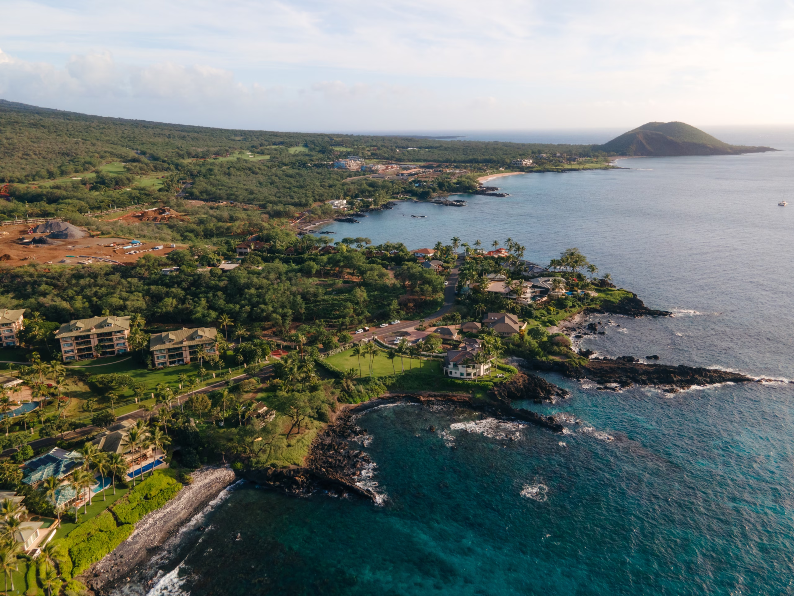
Molokini’s Timeline, From Eruption to Marine Sanctuary
| Period | What happened |
|---|---|
| c. 230,000 years ago | Phreatomagmatic eruption on Haleakalā’s southwest rift zone builds a tuff cone. Published age estimates sit in the 150,000 to 230,000 year range. |
| Late Pleistocene | Lower sea levels join Maui, Molokaʻi, Lānaʻi and Kahoʻolawe into Maui Nui. The cone stands roughly 500 feet above the shoreline of a much larger island. |
| Post-glacial sea-level rise | Rising water breaches the lower northern rim and floods the basin. The modern 161-foot islet and its sheltered lagoon take shape. |
| Contact era onward | Nineteenth-century charts mark Molokini primarily as a hazard to navigation and a fishing ground worked by Kīhei and Mākena families. Written records from this period are thin and mostly describe the island from the outside. |
| 1930s to 1945 | The US military uses the islet for bombing and gunnery practice. Unexploded ordnance remains on the seabed around Molokini to this day. |
| 1977 | Molokini Shoal is designated a Marine Life Conservation District under Hawaii’s Division of Aquatic Resources. |
| Present day | Commercial use is capped by Hawaii Administrative Rules Chapter 13-257: a 2.5-hour maximum stay per vessel, no overnight mooring, and no private recreational boats on vacant commercial day-use moorings between 7:30 AM and 9:30 AM. |
What Does Molokini Mean? “Many Ties”
The name is usually translated as “many ties.” The Pukui and Elbert Hawaiian Dictionary gives molo as to tie, bind, or splice, and kini as many or numerous. You can check the entry yourself in seconds, which is more than most tour scripts will offer you.
Here is the honest caveat. Hawaiian place names were carried orally for centuries before anyone wrote them down, and the nineteenth-century recorders were working with spelling systems they invented as they went. A single islet can hold several meanings at once: a description of its physical form, a memory of an event, a family association. The forty-third edition of Place Names of Hawaii on Ulukau is the place to dig if you want the scholarship rather than a boat narration.
Tradition also carries moʻolelo about the islet, and versions differ between families, islands and tellings. I am a British transplant who moved to Kīhei in 2017 and a guest on these islands, and I am not going to retell a story I cannot attribute properly. Ask a cultural practitioner, read the Hawaiian-language sources, and listen more than you talk.
Practical note: if a tour guide tells you a confident single-meaning translation of a Hawaiian place name, ask which dictionary they used. The good ones will name it.
The Second World War: When Molokini Was a Target
The least-known chapter in Molokini’s history is also the one with the most consequences for anyone getting in the water today. During the Second World War, the United States military used the islet for bombing and gunnery practice, and the archaeology of that era has never been fully cleared.
Corroded metal objects, fragments and what appear to be old munitions have turned up on the seabed around the crater for decades. The State of Hawaii treats these as live hazard material, and the message from the Division of Aquatic Resources is unambiguous. Follow the three R’s: Recognise, Retreat, Report. Call 911, then the Department of Health Hazard Evaluation and Emergency Response Office on 808-586-5815. Do not touch a metallic cylinder to see what it is. Do not photograph it from close range. Do not put it in a dive bag as a souvenir.
This is genuinely rare among snorkel sites worldwide, and it is the sort of detail that never makes it onto a boat briefing. Now you know.
From Bombing Range to Marine Sanctuary
The legal protection came later than most visitors assume. Molokini Shoal was designated a Marine Life Conservation District in 1977, under a state programme administered by the Division of Aquatic Resources, and the rules have tightened repeatedly since. Commercial fishing is prohibited inside the district, recreational take is heavily restricted, and landing on the islet requires written permits from both the US Coast Guard and the state Division of Forestry and Wildlife. Hardly anyone realises that stepping onto the rock without those permits is a federal and state offence, not a minor etiquette slip.
The current framework sits in Hawaii Administrative Rules Chapter 13-257, which governs the Molokini Shoal MLCD and the neighbouring Honolua-Mokulē’ia Bay MLCD. Two rules matter for planning. Day-use mooring is capped at 2.5 hours per vessel, and overnight mooring is banned outright. Our visitor rules and guidelines page breaks the rest down, including the reef-safe sunscreen requirement and the wildlife distance rules.
Why the Crater Feels Crowded, and When It Doesn’t
Molokini receives more than 300,000 visitors a year, and the arithmetic of that number is brutal between 8:00 AM and 10:30 AM. Carrying-capacity studies at the site have recorded an average of 12 to 15 commercial vessels on the submerged moorings at once during that window, putting somewhere between 660 and more than 1,100 passengers in the water simultaneously. Two-thirds of surveyed visitors reported feeling crowded.
So the history lesson has a practical payoff. Because the rules bar private boats from vacant commercial moorings between 7:30 and 9:30 AM, and because every vessel has a 2.5-hour clock, the site empties in predictable waves. Two quiet windows open up. The first is the pre-dawn slot: the earliest South Maui departures reach the crater 45 to 60 minutes before the Maalaea catamarans finish their 9.5-nautical-mile crossing. Kai Kanani’s Sunrise Deluxe Snorkel leaves from Maluaka Beach at 5:45 AM check-in and is usually the first boat in the water, though at $299 USD it is priced accordingly.
The second is the turnover slot between 10:15 AM and 11:45 AM, when the early catamarans have to leave for their second stop and the afternoon trade winds have not yet arrived. Late-morning express departures from the Kihei Boat Ramp such as Redline Rafting’s later-risers trip regularly find only one to three boats on site. Compare departure times and prices on our tickets and tours page before you commit.
One warning that belongs on a history page as much as a logistics one: afternoon tours are frequently diverted. Trade winds funnel across the isthmus at 20 to 25 knots after 11:00 AM, and every operator’s contract says snorkel locations are weather permitting and at the captain’s sole discretion. A cheap 1:00 PM booking can easily end up at Coral Gardens or Olowalu instead of the crater, with no refund due. If Molokini itself is the goal, book the morning.
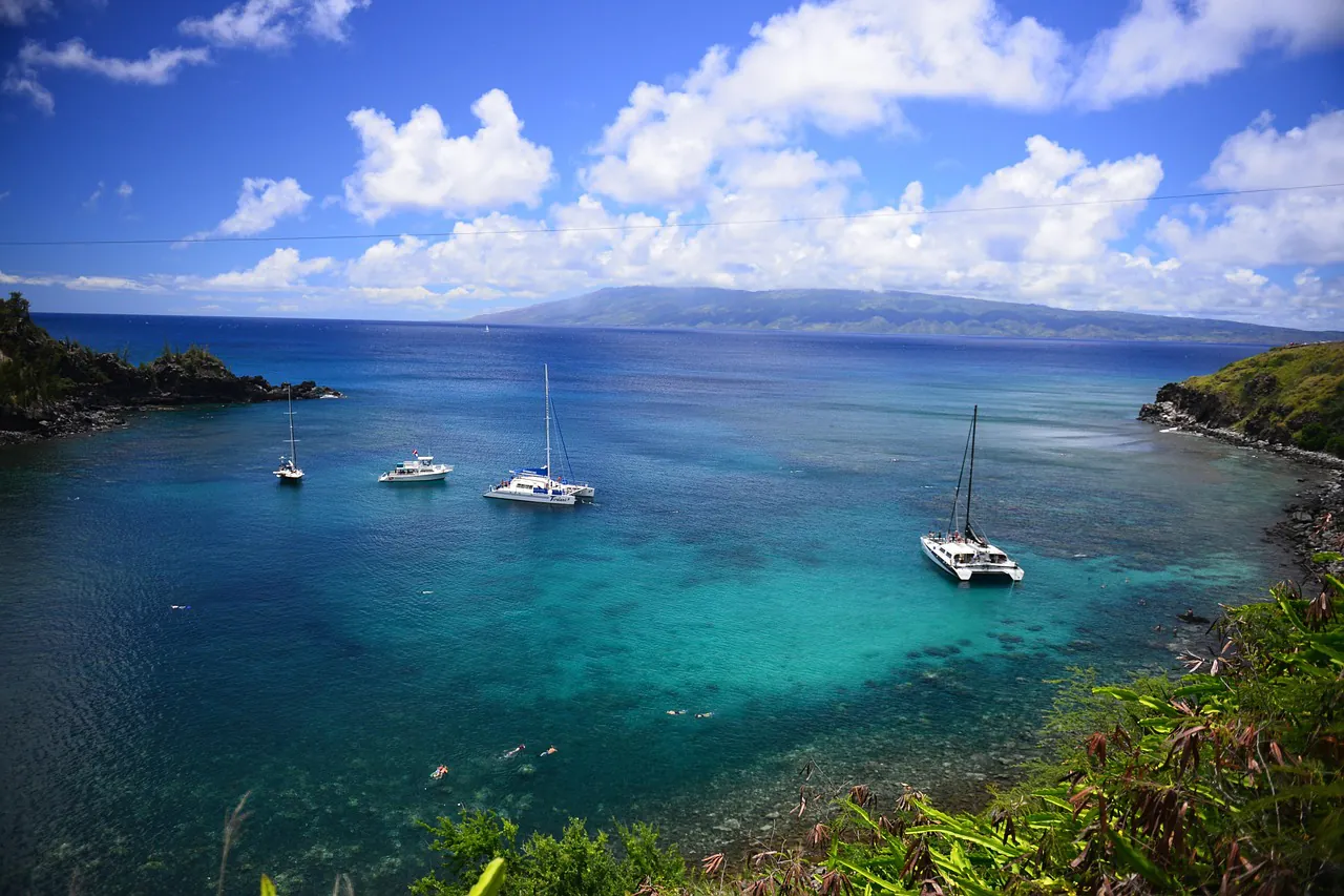
Reading the Rock Yourself
You do not need a geology degree to see how Molokini was made, and the best vantage point costs nothing extra. Sit on the port side heading out from the Kihei Boat Ramp so the crater is in front of you rather than behind.
- Look for layering. The walls show crude bedding, thin bands of ash and coarser fragments stacked in sequence. Each band is a separate pulse of the eruption.
- Spot the colour change. Brown-grey palagonite above the waterline means ash met water. Red rock, like Puʻu Olai, means it met air.
- Find the low point on the north rim. That is the breach. Everything you are about to swim in exists because that section gave way.
- Check the birds before you check the fish. Wedge-tailed shearwaters nesting on the upper slopes are the reason landing permits exist in the first place.
- Photograph the wall in flat light. Early morning gives you the shape. Harsh midday sun flattens the texture, which is why so many holiday photos of Molokini look identical.
For the best angles, altitudes and boat positions, our photos and views guide covers what to shoot and, more usefully, where to stand. If you are still deciding whether the crater is worth a morning of your holiday, the plan your visit hub weighs it against the alternatives. And if you want to know what those 660 to 1,100 fellow snorkelers are actually looking at down there, the marine life and Turtle Town page explains why Molokini itself is not a guaranteed turtle site.
One last thing. The crater took roughly 230,000 years to reach its current shape, and it is still eroding today, roughly as fast as it ever was. Book the earliest departure you can stomach, sit on the port side, and watch the brown walls come out of the haze before anyone else has finished their coffee. You will see more history in fifteen minutes of channel crossing than most people see in a week of resort brochures.